
New URI Website Reveals Rhode Island’s Changing Beaches
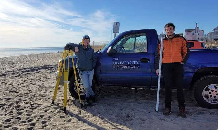
A new University of Rhode Island website gives coastal travelers a look at the beaches they visit, using measurements collected over more than six decades.
Announced September 23, Rhode Island Beach Dynamics Over Decades brings together shoreline survey data dating to 1962. The project covers eight Rhode Island beaches, with monitoring sites extending from Misquamicut to South Kingstown.
Researchers and students from URI and Eastern Connecticut State University have documented how beaches change through time. The public website presents that record through photographs, graphics and explanations of coastal processes.
One section examines storms, including Hurricane Sandy in 2012. Although Sandy did not directly strike Rhode Island, its high water and large waves significantly altered beaches and dunes.
The site also explains beach profiles, measurements that trace elevations between the waterline and vegetation. Repeated surveys reveal how a beach’s shape changes and where sand accumulates or disappears.
For visitors planning an Ocean State coastal trip, the resource adds context to a destination: the shoreline is continually responding to waves, weather and shifting sediment.
The website was developed over a year and a half with funding from Rhode Island’s Executive Climate Change Coordinating Council.
Readers can explore the resource through URI’s website.